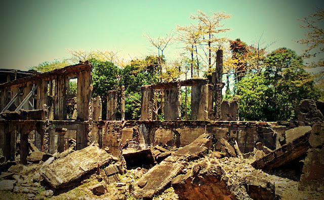
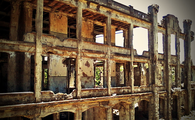
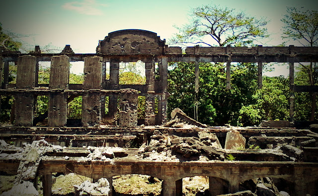
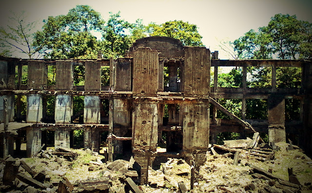
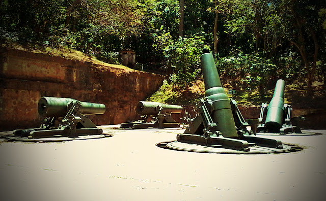
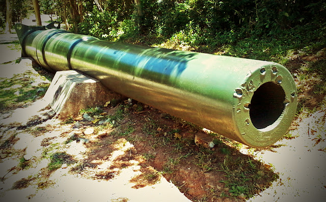
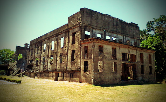
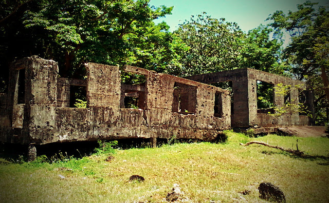
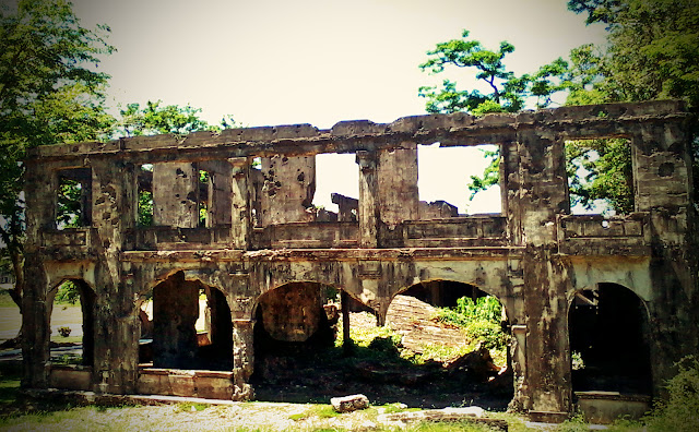
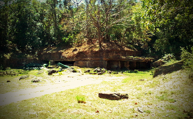
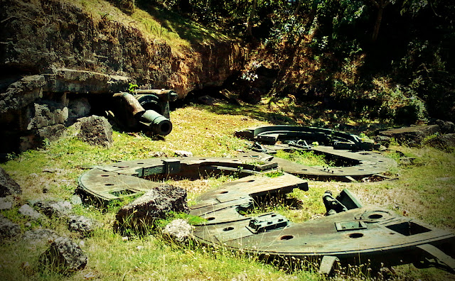
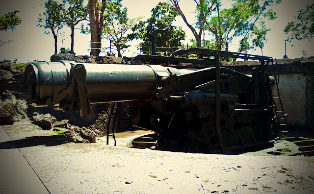
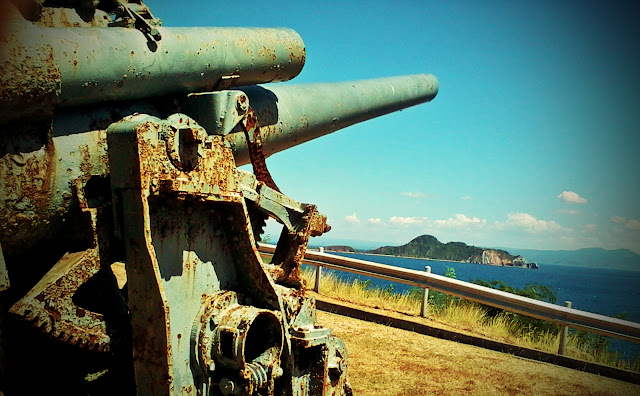
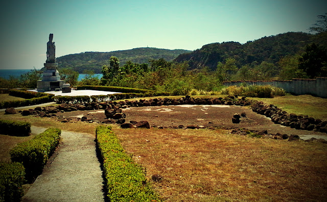
Corregidor Ruins
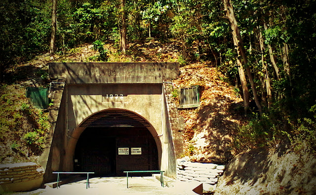
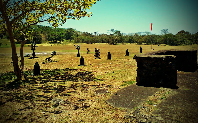
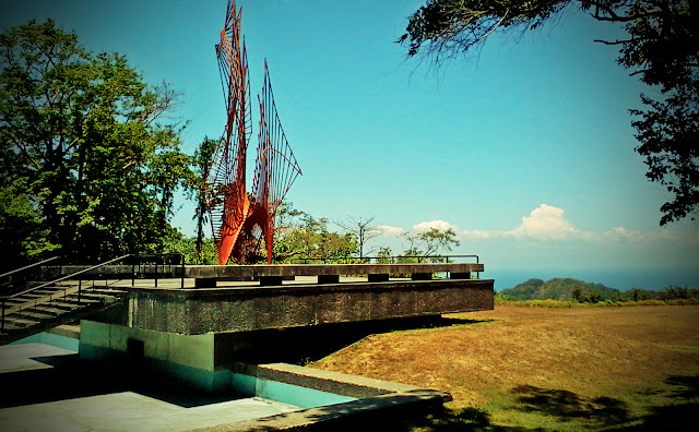
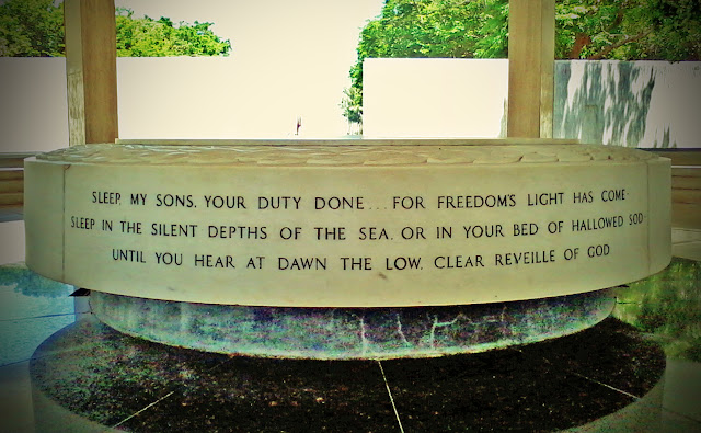
Corregidor is said to be a tadpole-shaped island which lies in a strategic position along the middle of the sea between Bataan and Cavite. And so it played a key role during the World War II. Many soldiers have died in this island, and the Japanese were buried in one common burial seen at the last photo. The Malinta tunnel is also built here where many historical events took place inside it.
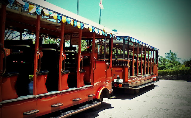
We visited Corregidor last April via ferry ride in Manila. It was a fast tour because we were only allowed a few minutes every place or spot we stopped by. Maybe the whole trip in Corregidor only lasted four hours, including lunch break. But then I think we were also chasing the right time to safely arrive in Manila because the waves are said to be very strong during late afternoon.
Here are some of the pictures my sister have taken. I also took photos but I lost my cellphone so she kindly shared hers. I edited them all.


Thanks for sharing this. I will be reading “Escape from Corregidor” by Edgar Whitcomb so your post is timely. It also helps to give me an idea of the stories surroundings while reading the book.
You’re welcome. I hope my post will be of any help to you. I should have posted more about the history of Corregidor but it’s too immense to tell it in one sitting. Thank you for your comment!
Reblogged this on Life in progress.. and commented:
Sharing.. this part of the Philippine history..Thanks for the post, not sure what the protocol is, but I clicked reblog.. Corregidor needs to be remembered
No problem. You are welcome to reblog this post and share the history and heritage of Corregidor. Thank you for your comment!